ASU WEB EAS WEB

MAPS FOR VTMX FIELD EXPERIMENT IN UTAH


CLICK TO GET 3D
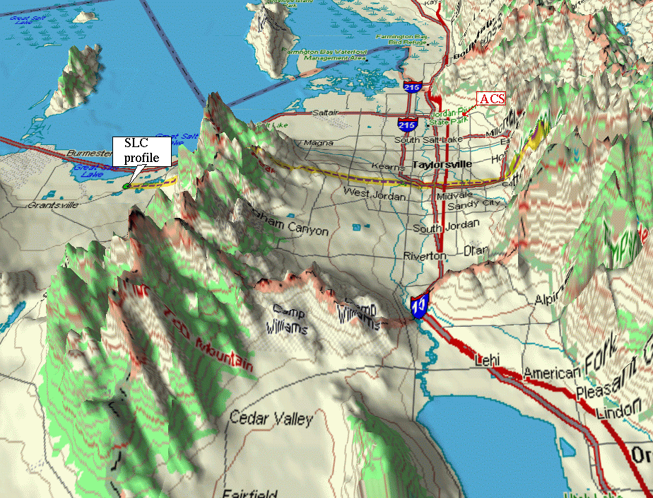
Salt Lake Valley (click to get 3D view)

CLICK TO GET 3D
Salt Lake Valley - profile (click to get 3D view)


CLICK TO ZOOM
ACS location (click to zoom)


CLICK TO ZOOM
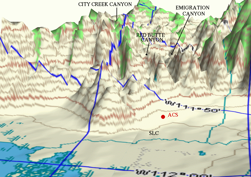
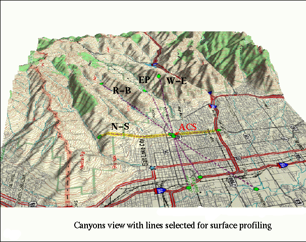
Wasatch Mountains, canyons form the east side (click to zoom)


ACS (Mt Olivet Cemetery)


CLICK TO SEE Wasatch Mountains, 3D east view of canyons
CLICK TO SEE ACS east view: the Red Butte, Emigration and Parleys canyons
CLICK TO SEE R-B: surface profile along the Red Butte canyon
CLICK TO SEE EP: surface profile starting from the Emigration Canyon
CLICK TO SEE N-S: North-South surface profile
CLICK TO SEE WE: West-East surface profile
CLICK TO SEE ACS north-east view: the Red Butte Canyon
CLICK TO SEE WE1: West-East surface profile
CLICK TO SEE SLC Map, east part with the Emigration Canyon
CLICK TO SEE ACS location in the Salt Lake region general map
CLICK TO SEE ACS location in the east-north SLC map
CLICK TO SEE ACS location zoomed


Back to VTMX Home Page